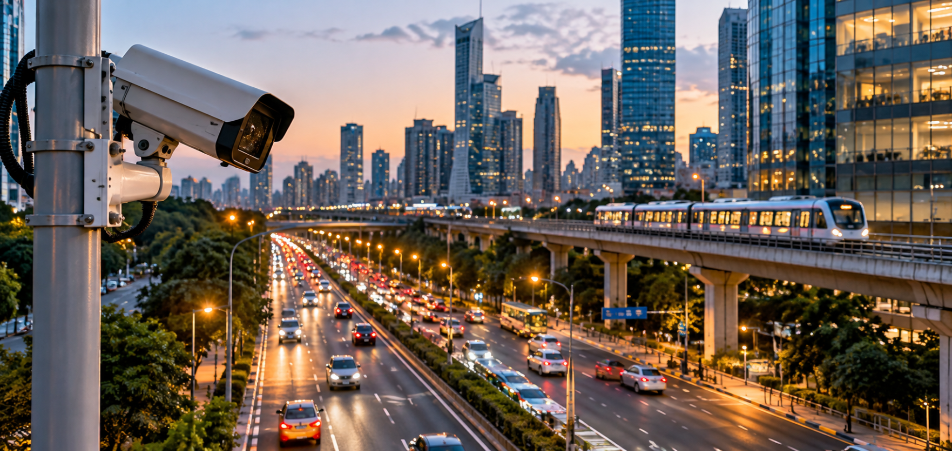
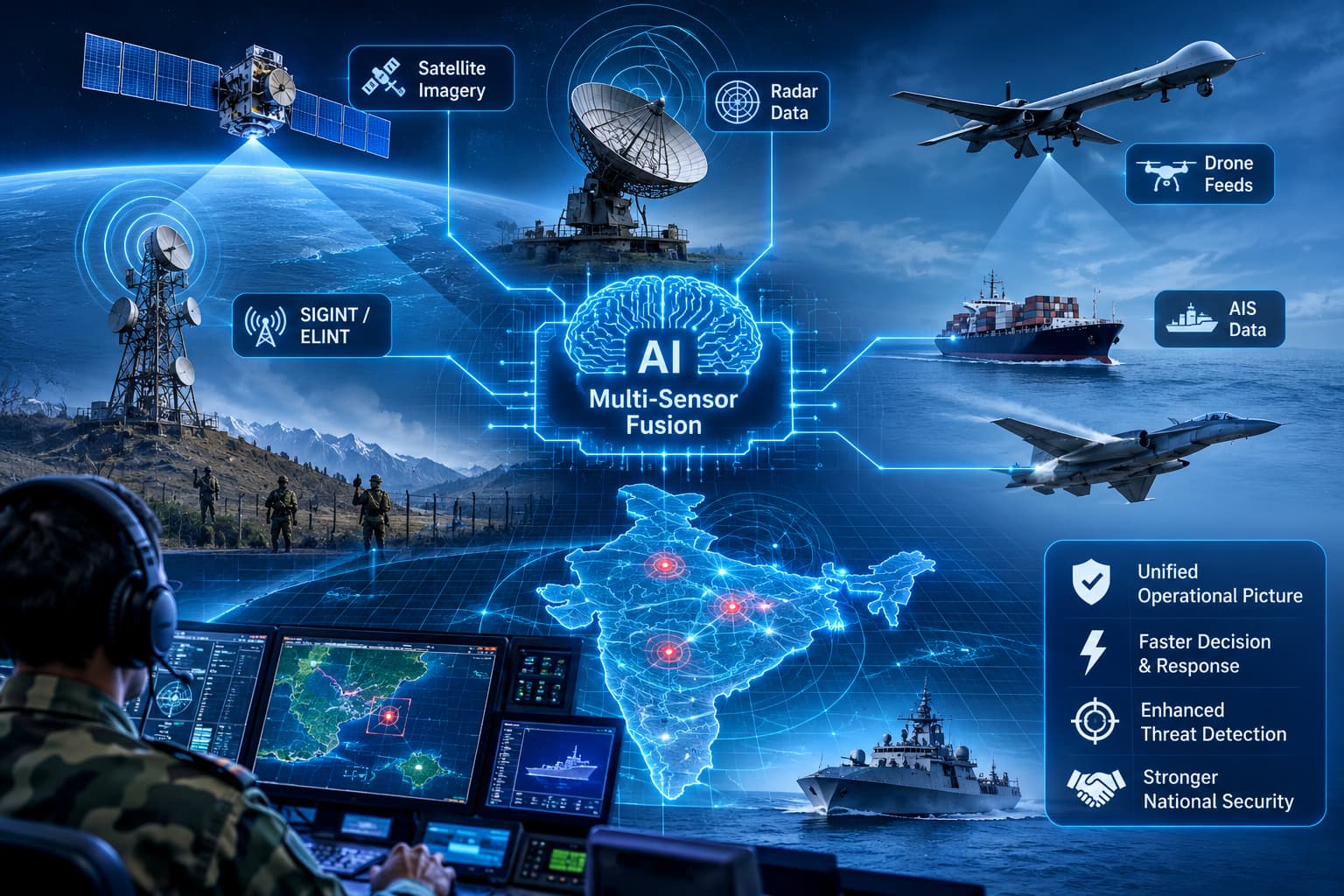
Modern defense and security operations generate more data than any team can read. Radar returns, radio intercepts, satellite imagery, and transponder broadcasts each capture part of the picture, whether the task is watching the Indian Ocean, guarding a land border, monitoring airspace, or policing a coastline. The difficulty is that no single source tells the whole story, and the pieces rarely arrive labelled in a way that lets them be joined together.
Why correlating sensors is so hard
More sensors should mean better awareness, but each one is an independent system with its own data format, time base, coordinate frame, and identifier. There is no shared primary key. Consider a simple case. A coastal radar detects a contact at 02:14. Two minutes later, an electronic intelligence sensor logs an emitter on a roughly matching bearing. Thirty minutes later, a satellite pass shows a vessel nearby, while the Automatic Identification System reports a fishing boat 12 km away. It is unclear whether these observations describe one vessel or several. Without a common identifier, analysts reconcile reports by hand, and a unified picture never forms.
A fragmented picture slows operations. Response time rises because analysts spend valuable minutes reconciling reports before anyone can act. One vessel may appear as three tracks, or three vessels as one, which duplicates effort and misallocates patrol assets. Low-signature or AIS-dark contacts can blend into background traffic, leaving infiltration or illegal activity unnoticed until corroboration arrives, if it arrives at all. The same pattern appears on land, where ground sensors and drone feeds rarely share identifiers, and in the air, where radar tracks and signals intelligence seldom line up cleanly.
How Valiance Solutions approaches multi-sensor fusion
Valiance Solutions has indigenously built a multimodal AI platform for this problem that can run without internet connectivity in sovereign, air-gapped networks. Rather than pushing every feed through one generic pipeline, it uses data pipelines specific to each sensor, with domain-specific models that understand what a radar return, an ELINT intercept, or an EO-IR frame actually means.
The fusion architecture works in five steps. Observations are first ingested and normalized into a common format. Temporal correlation then acts as the first anchor, checking whether observations fall in the same time window. Spatial correlation is the second anchor, asking whether they sit within a plausible geo-radius. Attribute matching compares shared characteristics, and evidence fusion combines what each source contributes.
Every candidate match is scored using a configurable weighting of temporal match, spatial proximity, attribute similarity, source reliability, and prior correlation (past co-occurrence). Evidence is combined through probabilistic fusion using Dempster-Shafer aggregation, which handles uncertain and conflicting evidence better than simple voting.
A decision gate acts on the composite score. Where confidence is high, observations are merged as the same entity. Where it is moderate, they are held for further evidence or analyst review. Where it is low, they stay separate. These thresholds are configurable, so each force can tune them to its own risk appetite.
The output is a Fused Entity Identity (FEID). Each FEID records a confidence score, the contributing sources (such as RADAR + ELINT + SIGINT), its status, and traceable provenance, so analysts can always see why observations were merged. The system updates continuously. Each new observation is re-scored and the FEID refreshed, and confidence decays when fresh corroboration does not arrive.
Why it matters across services
Multi-sensor fusion enables defense forces to move beyond fragmented sensor inputs towards a unified, actionable operational picture, significantly improving decision-making and response times. The Indian Navy can track vessels across the Indian Ocean and verify identities beyond what transponder data alone can establish. The Indian Coast Guard can identify and respond to smuggling, illegal fishing, and suspicious coastal movements. The Indian Army can correlate ground sensors, drone feeds, and intelligence reports to detect and assess border movements with greater speed and accuracy. Similarly, the Indian Air Force can fuse radar tracks, signals intelligence, and imagery to build a comprehensive airspace picture and resolve unidentified contacts faster. By bringing information from multiple sources together, the platform delivers clear, actionable intelligence, reduces the time required to detect, verify, and assess potential threats, and enables defense forces to respond faster and with greater confidence.
Identification works in both directions. Analysts can start from a sensor detection and confirm it with imagery, or start from an image and trace it back through the sensor record.
The number of sensors and data sources will keep growing. For defense and governance agencies, the question is no longer whether to collect more data, but whether they can connect what they already have. Multi-sensor fusion is one practical answer.
Valiance Solutions works on AI for defense and governance, including maritime, land, and air domain awareness.