PRODUCT

COMPUTER VISION

DATA ANALYTICS

Wildlife EYE & IQ

Wildlife EYE & IQ is Valiance's integrated wildlife monitoring and analytics offering — combining real-time detection (EYE) with the data and analytics layer (IQ) that turns those sightings into actionable insight.

2 Indian Patents Granted

PCI In Process

Google Cloud Partner

AI-powered human-wildlife conflict prevention

Real-Time AI Detection · Edge AI Enabled · Solar/Off-Grid Ready — a four-stage autonomous system that closes the gap between wildlife movement and human response.

Human-Wildlife Conflict is Rising

Human casualties

Attacks on farmers, villagers, and forest workers continue to rise near reserve boundaries.

Livestock & crop damage

Millions in annual losses as wildlife raids farms, devastating rural livelihoods.

Delayed response

Forest departments are notified hours after incidents — long after the conflict window has passed.

No real-time monitoring

Traditional camera traps provide forensic data only — zero live alerting capability.

How Wildlife EYE Works – Detect, Classify, Alert, Prevent

Detect

AI smart cameras continuously monitor forest boundaries and movement corridors.

Classify

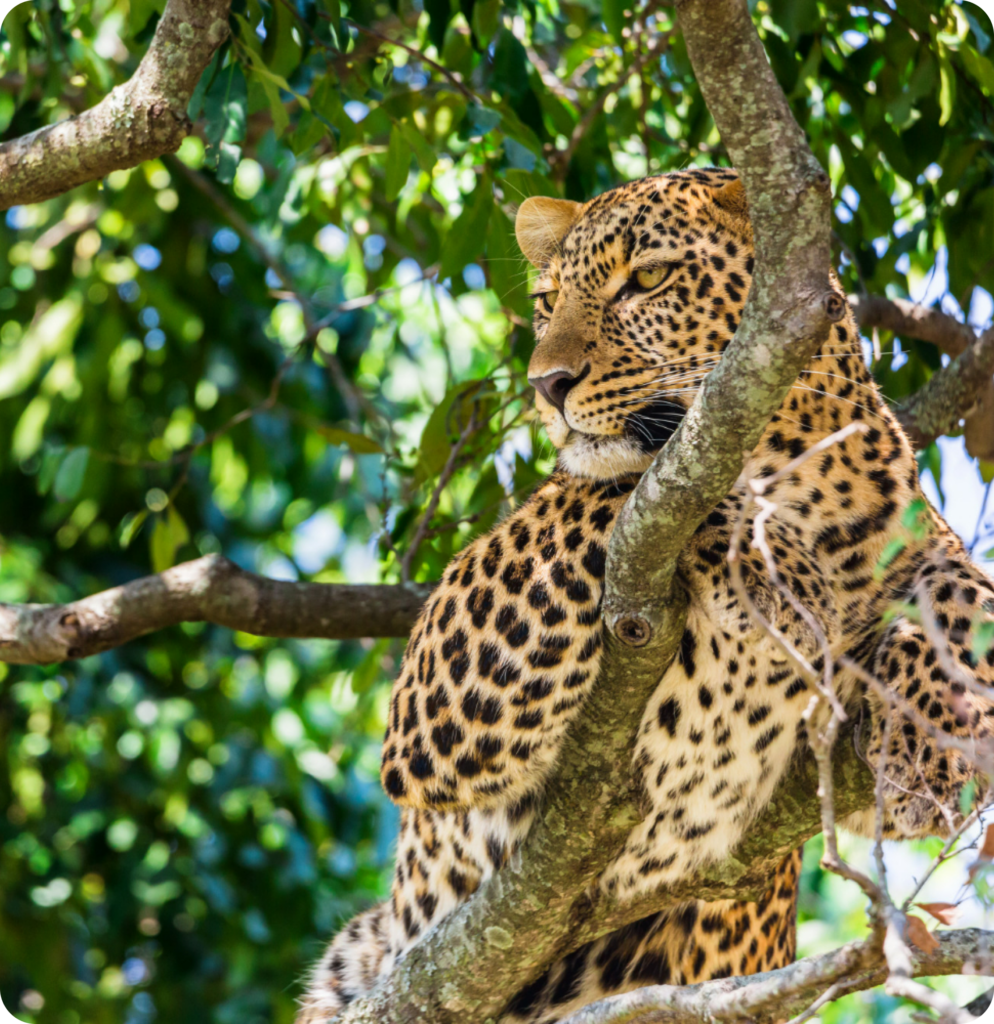
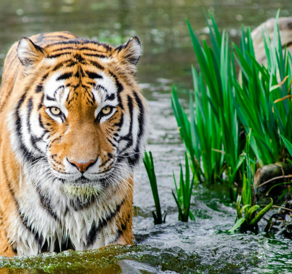
Edge AI identifies tiger, leopard, bear, or unauthorized human intrusion in real time.

Alert

Instant multi-channel alerts dispatched to forest officials, ranger teams, and village heads.

Prevent

Rapid preventive action is enabled before conflict escalates or casualties occur.

Key Capabilities

The AI-Powered Virtual Wall – The Platform's Most Cost-Effective Differentiator

Perimeter camera network

Cameras strategically placed along the forest boundary for overlapping fields of view — no blind spots.

Crossing detection

Any wildlife or unauthorized human movement crossing the AI perimeter triggers a classified alert within 3 seconds.

Multi-channel response

Simultaneous hooters, sirens, PA systems, perimeter lighting, mobile push alerts, and dashboard updates.

“The Virtual Wall creates a proactive safety corridor — alerting communities and officials before wildlife enters human-occupied zones.”

Deployment Models

Fixed Setup

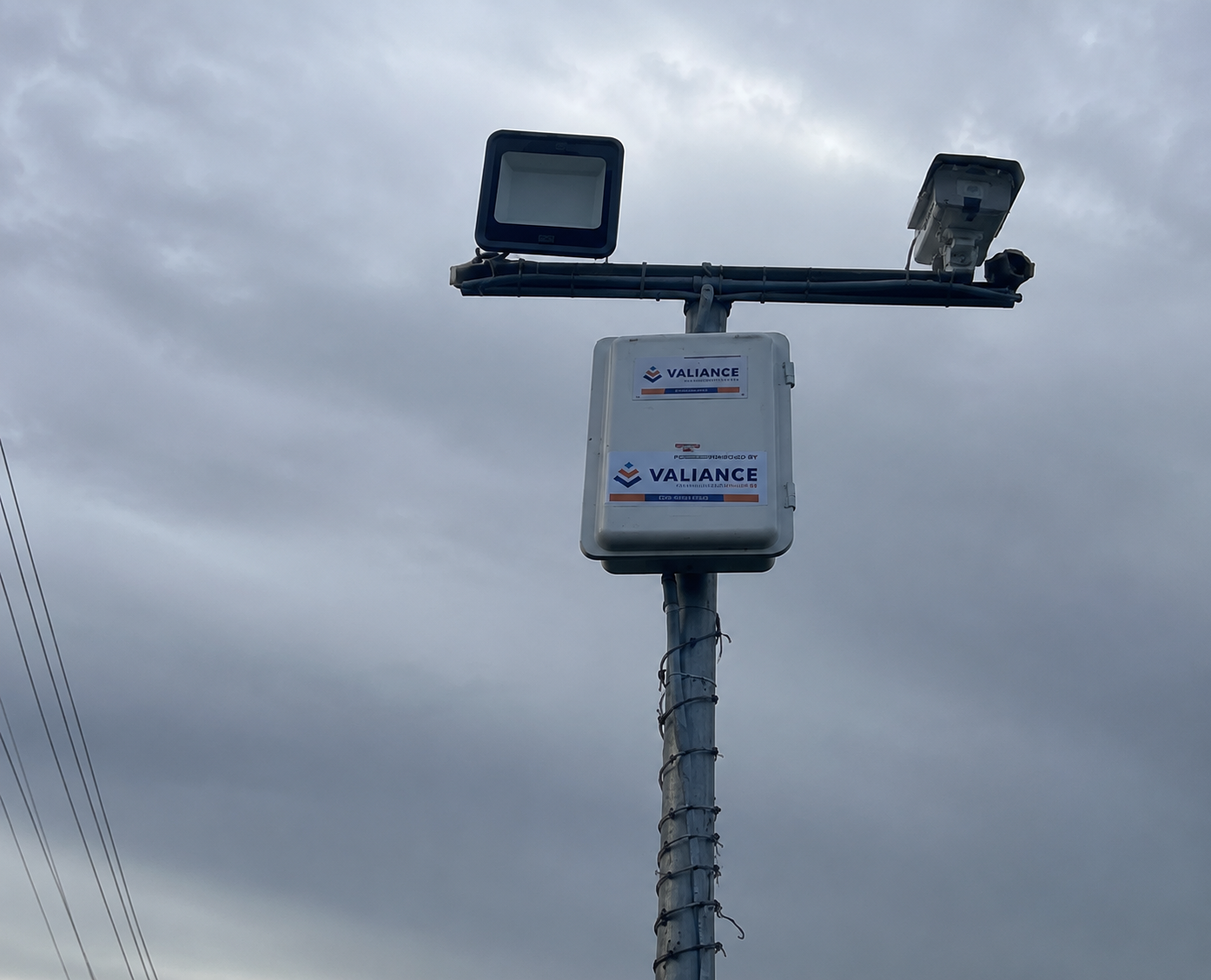
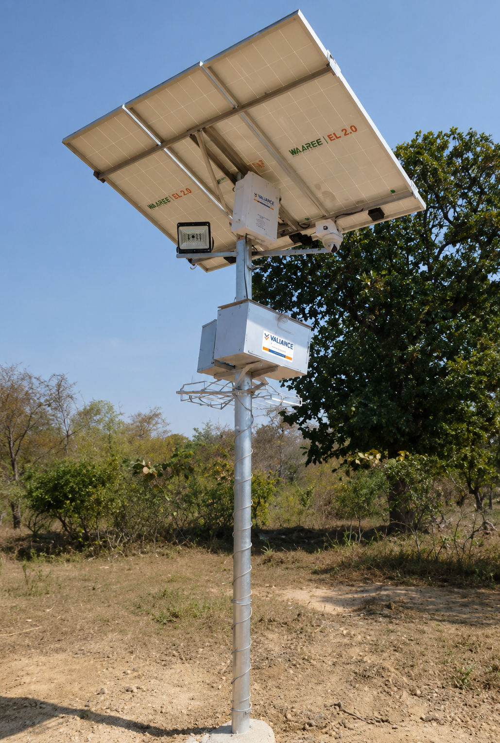
Permanently installed at high-risk hotspots — AI cameras, hooters, LED lights, solar panels, comms panel. Runs 24/7 with no grid power.

Solar / Off-Grid

Fully solar-powered for zero-electricity areas. Edge AI reduces bandwidth — sustainable by design.

Mobile Setup

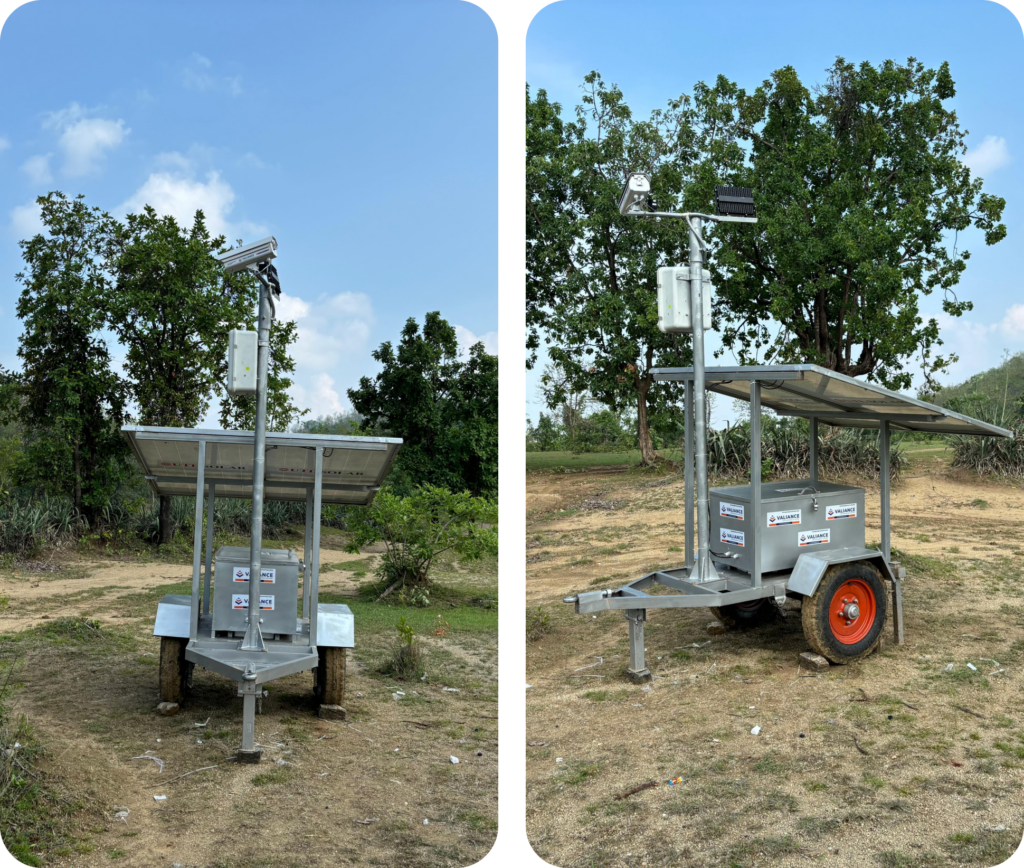
Portable units that relocate as animal activity shifts, following the threat across zones.

Intelligent Camera Trap

Captures motion-based images, sends to cloud, triggers real-time alerts. Typically needs charging every 2–3 weeks.

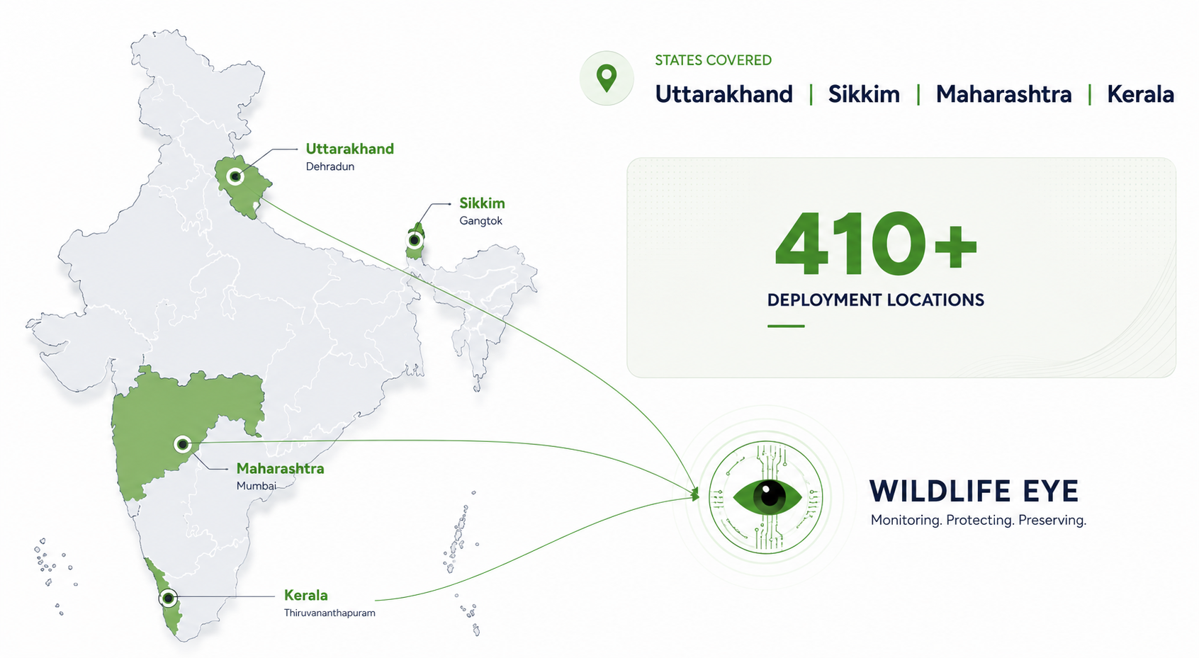
Deployed Across India

410+

Deployment locations

4

States — Maharashtra, Uttarakhand, Sikkim, Kerala

11,000+

Verified alerts triggered since 2023

3s

Detection to alert time

Results at Tadoba Andhari Tiger Reserve

87%

Drop in cattle kills,
Mul region

90%

Reduction in crop damage, in certain zones

0

Human casualties post-deployment

Platform Interface

A full SaaS platform accessible via web dashboard and mobile app — complete situational awareness for forest managers and field rangers.

Recognition & Credibility

Featured on Mann Ki Baat by Prime Minister Narendra Modi (Episode 110, 25 February 2024) — highlighting the Chandrapur district deployment, where AI-based cameras alert local villagers via mobile phone. Also covered by NDTV, Times of India, BBC Marathi (documentary feature), Lokmat, and featured as an official Google Cloud customer success story.

NASSCOM AI

Gamechangers Award 2024

Innovation in AI

15th Aegis Graham Bell Awards

BRICS Innovation Challenge

3rd prize, AI track

ET “Breakthrough in Computer Vision”

Making AI Work Summit

AIMA Innovation Practitioner’s Case Study Contest

2nd Runner-up

GAISA Global AI Summit

Best AI Application for Society

Business Connect

Topmost AI Innovation Company to Watch, 2023

Indian Achievers’ Award 2023

Emerging Company

Won 3 of 4 State

Innovation Challenges in 6 months

Invited to LBSNAA (IAS Academy)

NACIN (IRS Academy), Indian Navy Innovation School

Patent No. 568039

Mobile Cart Surveillance System

Mobile deployment architecture for AI-based wildlife monitoring, enabling rapid field deployment without fixed infrastructure.

Patent No. 575466

AI Wildlife Detection System

Core AI classification and alert-generation methodology for real-time wildlife detection at forest boundaries.

AI-powered wildlife intelligence & data management

AI-Based Species Classification · Tiger Identification & Tracking · Automated Territory Mapping · Large-Scale Wildlife Data Analytics — the platform that turns raw camera-trap imagery into conservation intelligence.

Wildlife Data is Growing Faster Than Forest Teams Can Analyze.

Massive image volumes

Lakhs of wildlife images are generated annually through camera traps.

Manual classification

Forest teams manually classify species and identify tigers.

Fragmented historical data

Data remains stored across disconnected hard disks and local systems.

No AI-based mapping

Tiger territories, movement analysis, and species intelligence require significant manual effort.

What Wildlife IQ Does

Upload

Camera trap images uploaded to the cloud platform.

Classify

AI classifies species — tigers, leopards, bears, elephants — detects unauthorized human intrusion, and identifies unique tigers.

Analyze

Generates territorial maps, density insights, and wildlife intelligence.

Search & track

Track individual tigers across locations and historical timelines.

"Wildlife IQ transforms raw wildlife imagery into actionable conservation intelligence."

Traditional Workflow vs. Wildlife IQ

Traditional Workflow

Wildlife IQ

Platform Capabilities

Designed to handle large-scale datasets — 2–3 lakh images can be processed per day, from camera trap through AI classification to territorial mapping and analytics.

Star Features

Find Tiger

Upload a tiger image → AI identifies the tiger → shows previous sightings, historical activity timeline, territorial map, and nearby tiger movement. Supports image uploads from camera traps, ranger devices, or external sources.

Tiger & Leopard Territory Intelligence

AI-powered territorial mapping and wildlife movement analysis. Enables forest departments to visualize territorial movement of uniquely identified tigers and leopards, and perform year-on-year analysis of shifting, expanding, or overlapping territories.

Conservation impact: Supports wildlife conservation teams in understanding changing animal movement patterns, identifying sensitive overlap regions, monitoring habitat dynamics, and enabling data-driven conservation planning.

Platform Interface

A centralized AI-powered SaaS platform, accessible via web application. Example classification dashboard view

3,421,392

Total Images

1,272,333

Classified Images

2,149,059

Unclassified Images

17,396

Tiger Images

Figures shown on an “indicative platform screen” in the product deck — illustrative example data, not a claimed live production count.

Scroll to Top